Quick start

See your field in four steps.

1

Zoom in

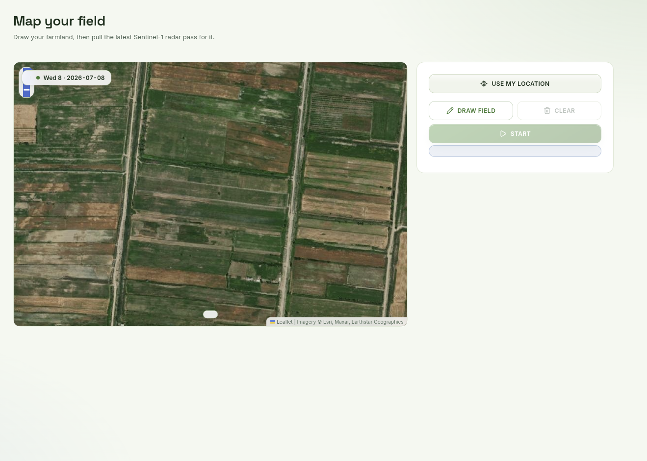
Zoom in to the area you're interested in.

Zooming in to a field on the satellite map.
2

Draw your field

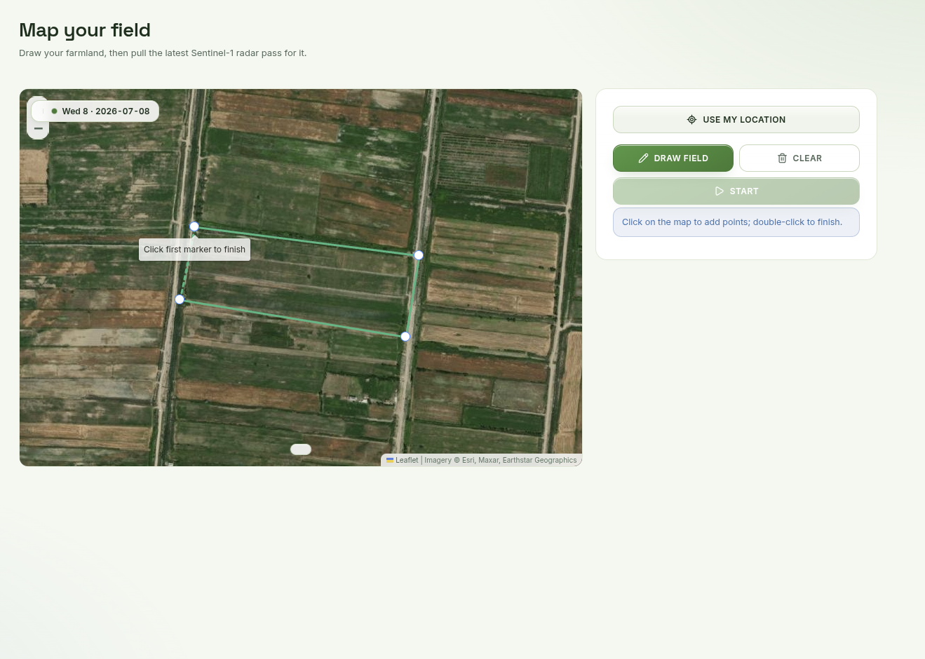
Click Draw field and sketch the outline of your field.

Sketching a field outline on the map.
3

Start

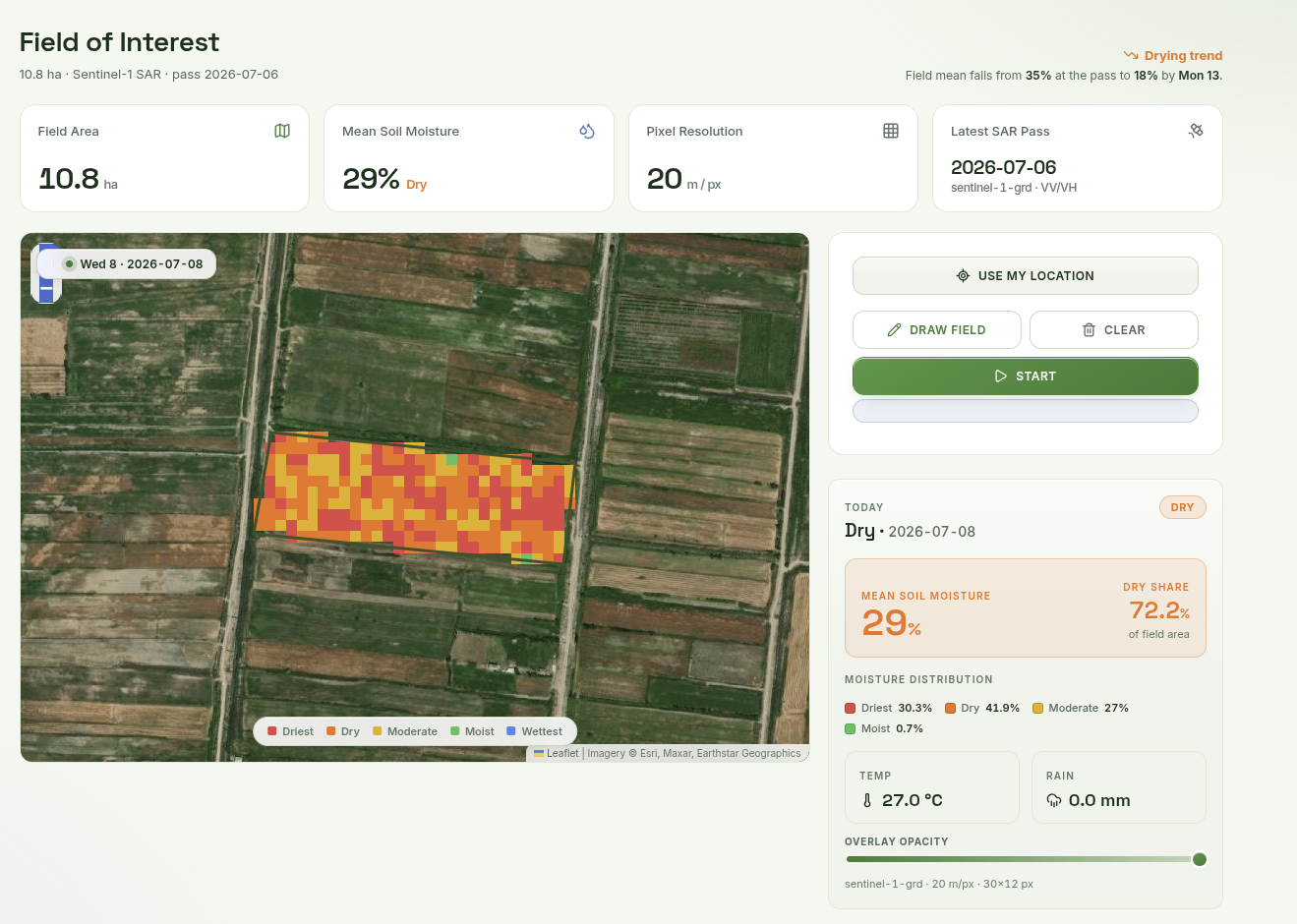
When you're done, click Start and see the results.

The field filled with the soil-moisture result after pressing Start.
4

Check the forecast

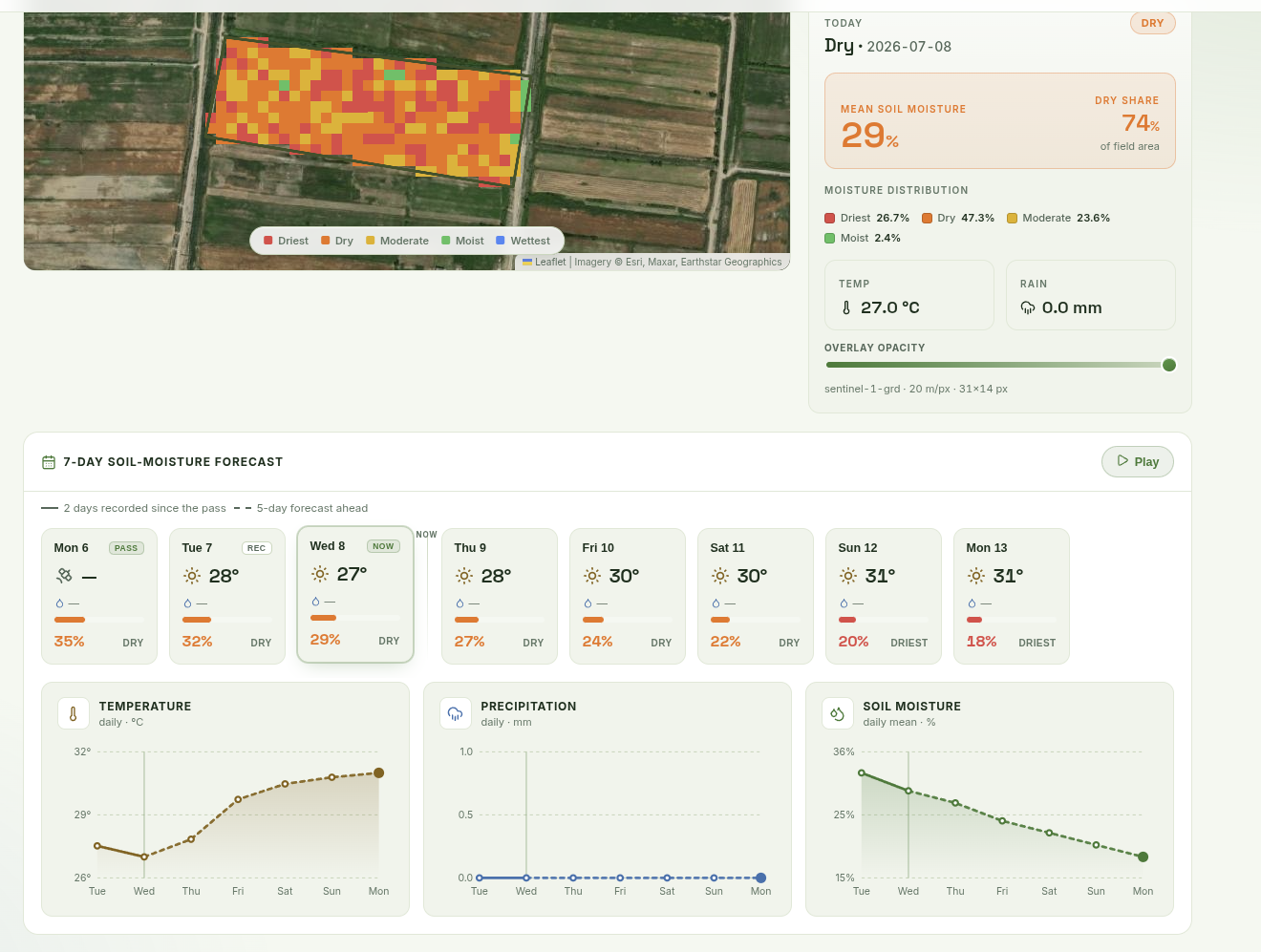
Scroll down to the weather forecast. Click any day ahead to watch the soil-moisture map change.
The weather forecast with a selected day updating the soil-moisture map.

Sketch Your First Soil Moisture Map

Open the map